
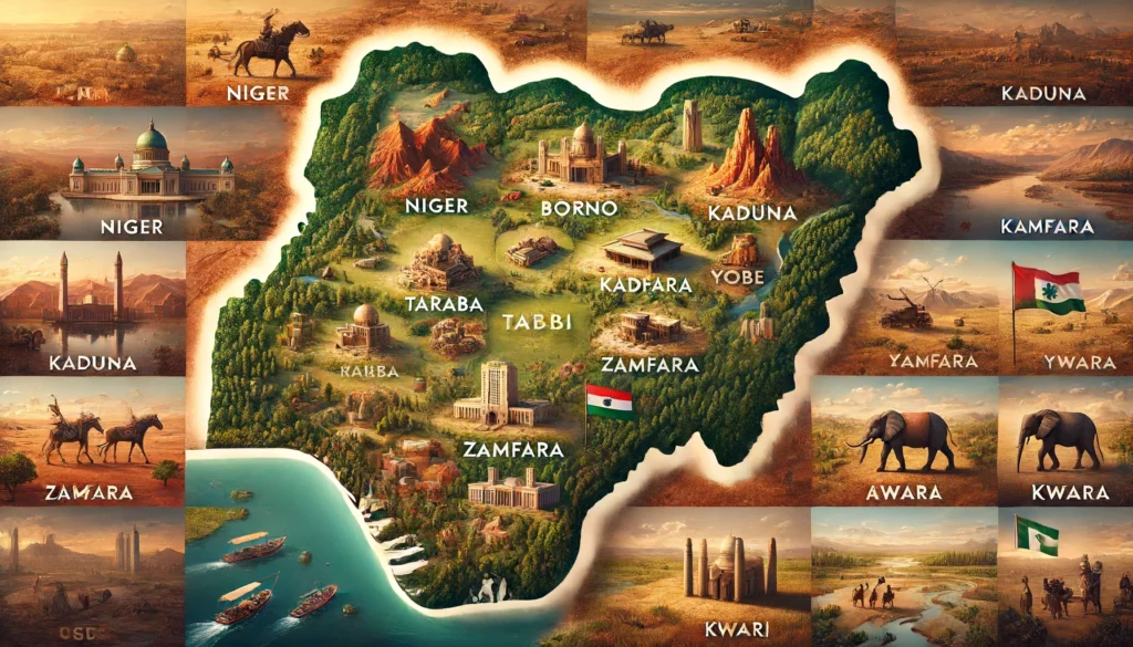
Nigeria, a country rich in cultural diversity and natural resources, boasts vast landscapes across its 36 states. Here, we explore the ten largest states by landmass, showcasing the geographical diversity that characterizes this West African nation.
- Niger State – 76,363 km² Niger State stands as the largest state in Nigeria, covering an impressive area of 76,363 square kilometers. It is known for its lush vegetation, rich agricultural lands, and significant hydro power resources, including the famous Kainji Dam.
- Borno State – 70,898 km² Borno, located in the northeastern part of Nigeria, spans 70,898 square kilometers. It is known for its arid landscape, being part of the Sahel region, and is home to the historic city of Maiduguri and the Sambisa Forest.
- Taraba State – 54,473 km² Covering 54,473 square kilometers, Taraba State is characterized by its diverse topography, including mountains, valleys, and rivers. The Mambilla Plateau, a significant attraction, offers stunning views and is an important area for agriculture.
- Kaduna State – 46,053 km² Kaduna State occupies 46,053 square kilometers in north-central Nigeria. It features a mix of urban and rural areas, with the city of Kaduna serving as a major industrial and cultural hub.
- Bauchi State – 45,893 km² Bauchi State covers an area of 45,893 square kilometers. Known for its wildlife and natural attractions, it is home to the Yankari National Park, a premier destination for ecotourism in Nigeria.
- Yobe State – 45,502 km² With a landmass of 45,502 square kilometers, Yobe State is situated in the northeastern part of the country. It features a predominantly semi-arid climate and is known for its traditional agricultural practices and rich cultural heritage.
- Zamfara State – 39,762 km² Zamfara State covers 39,762 square kilometers in the northwestern region of Nigeria. The state is primarily agricultural, with vast lands dedicated to farming and livestock rearing.
- Adamawa State – 36,917 km² Adamawa State, spanning 36,917 square kilometers, is located in northeastern Nigeria. It is known for its varied terrain, including the Mandara Mountains and numerous rivers, making it a region rich in natural beauty.
- Kwara State – 36,825 km² Kwara State, with an area of 36,825 square kilometers, lies in the west-central part of Nigeria. It features a blend of savanna and forest landscapes and is an important center for trade and agriculture.
- Kebbi State – 36,800 km² Kebbi State occupies 36,800 square kilometers in the northwestern region of the country. It is known for its fertile lands, which support extensive rice and wheat farming, contributing significantly to Nigeria’s food security.
These states, with their vast landmasses, reflect the geographical diversity and richness of Nigeria. From arid regions to lush agricultural zones and mountainous areas, each state offers unique features and resources that contribute to the nation’s overall landscape.